Sunrise on Mount Batur
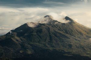
Visa Bali Info – Mount Batur, Bali – not only enchants through its beaches, countryside, cafes, clubs and culinary delights. But Bali offers a beautiful mountainous area for you to enjoy the sunrise.
Especially for those of you who have a hobby of climbing mountains, it seems that you should try Mount Batur as your goal for climbing.
Mount Batur is an active volcano in Kintamani District, Bangli Regency, Bali, Indonesia.
Mount Batur with the Largest Caldera in the World
The mountain has a caldera measuring 13.8 x 10 km and is one of the largest in the world (van Bemmelen, 1949).
The Mount Batur caldera is thought to have been formed by two major eruptions, 29,300 and 20,150 years ago.
Inside Caldera I, Caldera II is formed which is circular in shape with a diameter of approximately 7 km.
The base of Caldera II is located between 120-300 m lower than the Kintamani Step (the base of Caldera I).
Inside the caldera there is a crescent-shaped lake that occupies the southeastern part with a length of about 7.5 km, a maximum width of 2.5 km, a circumference of about 22 km and an area of about 16 km2 which is called Lake Batur.
4 Starting Points for Mount Batur
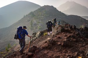
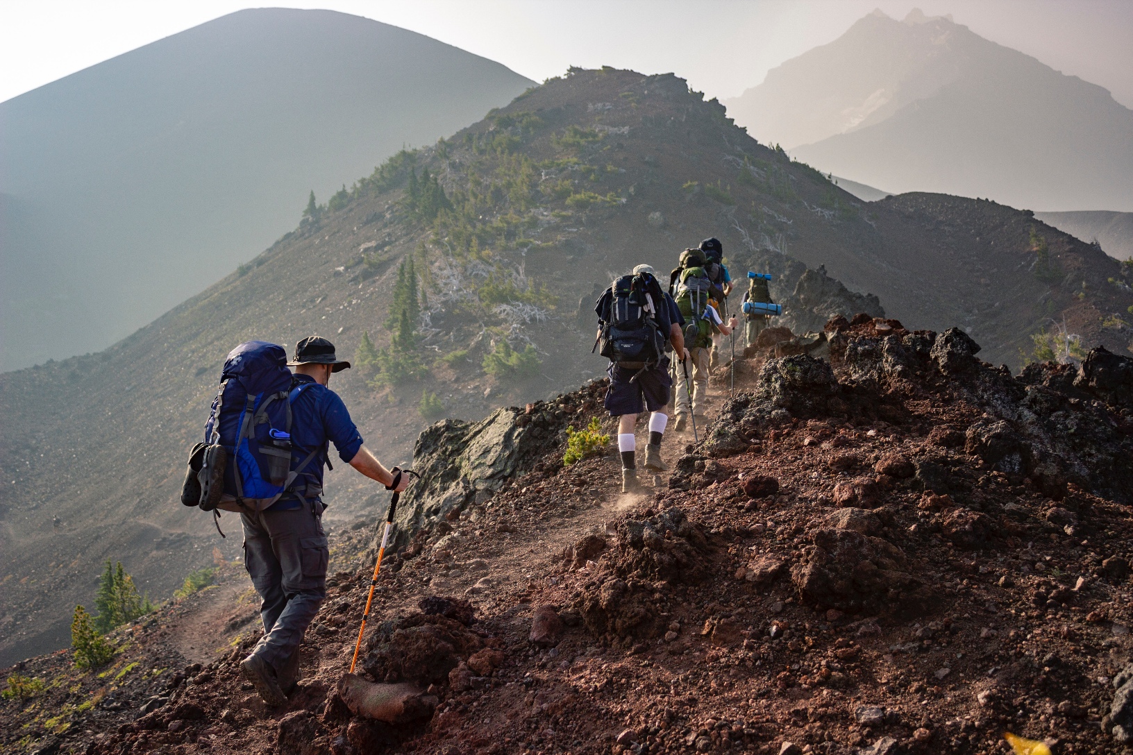
To climb Mount Batur, there are 4 climbing routes that you can use or choose as a starting point for climbing to the top of Mount Batur.
1. Pasar Agung Temple Path
To get to this hiking trail, you must first pass through the Jati temple then head towards the Pasar Agung Batur temple.
After arriving at the Pasar Agung temple, you can immediately start the climb by passing the rocks which are quite steep and long with a duration of about 30 to 40 minutes.
Then you will arrive at the second peak of Mount Batur after passing through steep rocks, this peak is better known as Peak Kanginan by the local community.
2. Climbing route through the Toya Bungkah start point
On the way of climbing through Toya Bungkah, almost 60% of the climbing terrain is in the midst of shady trees such as acacia trees and eucalyptus trees and various other types of trees.
The uniqueness of this one starting point field is the convenience that you will get. Because the path is shorter and easier with climbing terrain that is not too steep or steep.
So that in 2017, the Mount Batur Ojeg Association has repaired this route, then even motorbikes with large cc can easily go through this hiking trail up to an altitude of 1650 meters above sea level. The rest is another 15-20 minute journey through the rocks which are not so steep.
3. Insect Start Point
The start point of Serongga is located east of Toya Bungkah about 5 km, it is recommended to leave early because considering the distance is quite far.
There is only one view point, which is at the top of Mount Batur, so like it or not you have to be fit because to be able to see the sunrise or a good view you can only see it from the top (1717 masl)
4. Start Point Climbing Culali / Mentik Hill
This start point is the longest route at the foot of Mount Batur. You will need longer time than other starting points for climbing Mount Batur, which is about 2.5 – 3 hours to reach the main peak.
Although it has the longest route, this start point has the advantage of seeing the second crater (new crater) of Mount Batur, which last erupted in 2000.
Even though it looks easy to climb when described, it is recommended that you still use the services of a guide.
Don’t worry, because here there is a set of Mount Batur climbing tour guides (HP2GB) who are ready to help you enjoy the sunrise over the horizon of the Bali Gods.


